أهلا بك في
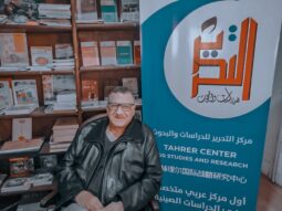
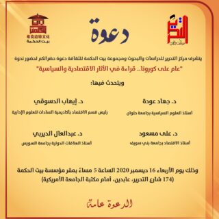
مركز التحرير للدراسات والبحوث
أول مركز عربي متخصص بالدراسات والبحوث الاستراتيجية والدولية الصينية


أهلا بك في مركز التحرير للدراسات والبحوث
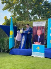
كل ما هو جديد عن المركز
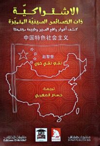
نقدم لك كتب متنوعة في علوم السياسة والاقتصاد والدراسات
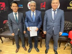
تعرف على احدث البرامج البحثية والدورات التدريبية فى المركز
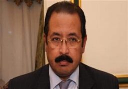
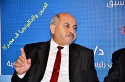
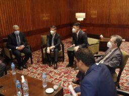
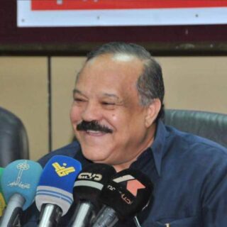
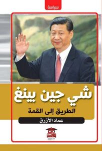
كلمة رئيس المركز: عماد الأزرق
عن المركز
كلمة رئيس المركز: عماد الأزرق

جميع الحقوق محفوظة لـمركز التحرير للدراسات والبحوث 2020